
The field of geospatial data technology is undergoing a profound transformation, driven by advances in artificial intelligence, sensor technologies, computing power, and data integration capabilities. Czech researchers and technology companies are at the forefront of many of these developments, contributing innovations that are reshaping how we collect, analyze, and apply geographic information.
The Evolution of Geodata Technologies
To understand where geodata technologies are heading, it's helpful to consider their evolution. Geographic information systems (GIS) emerged in the 1960s as computer-based tools for storing and analyzing spatial data. Over subsequent decades, these systems became more sophisticated, incorporating satellite imagery, GPS data, and increasingly powerful analytical capabilities.
The current wave of innovation represents a fundamental shift in this trajectory. Rather than simply enhancing existing approaches, emerging technologies are enabling entirely new paradigms for working with geospatial information. Czech researchers are contributing to this transformation across multiple domains.
Next-Generation Data Collection
The way we collect geospatial data is rapidly evolving, with several key trends reshaping the field:
- Ubiquitous Sensors - The proliferation of Internet of Things (IoT) devices is creating vast networks of sensors that continuously gather location-aware data. Czech company Sewio Networks has pioneered ultra-wideband indoor positioning systems that enable centimeter-level location tracking in industrial environments.
- High-Resolution Earth Observation - New satellite constellations offer unprecedented temporal and spatial resolution. Researchers at the Czech Technical University are developing specialized algorithms for extracting actionable insights from these massive datasets.
- LiDAR and Photogrammetry Advances - These technologies now generate incredibly detailed 3D representations of both natural and built environments. Czech startup VRgineers has created systems that combine these data sources for immersive visualization applications.
- Crowdsourced Geographic Information - Platforms that harness citizen contributions are becoming increasingly sophisticated. The MapaSveta project, initiated in the Czech Republic, is developing new quality assurance mechanisms for crowdsourced mapping data.

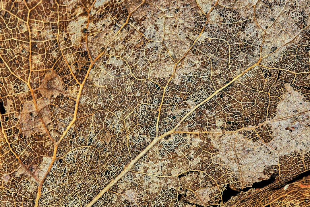
Next-generation LiDAR system developed by Czech researchers capturing high-density point cloud data
These diverse data collection methods are generating geospatial datasets of unprecedented volume, variety, and velocity, creating both opportunities and challenges for the field.
"We're moving from an era of data scarcity to one of data abundance in geospatial applications. The challenge is no longer acquiring data, but making sense of the massive streams of geographic information now available to us."
— Dr. Tomáš Bayer, Charles University in Prague
Artificial Intelligence and Machine Learning
Artificial intelligence represents perhaps the most transformative force in geodata technologies. Czech researchers are making significant contributions in several key areas:
- Computer Vision for Geographic Data - AI systems that can automatically extract features from satellite imagery, aerial photos, and street-level imagery. The GeoAI Lab at Masaryk University has developed algorithms that can identify subtle land use changes from multi-temporal imagery with accuracy exceeding human analysts.
- Predictive Geospatial Analytics - Machine learning models that can forecast spatial patterns and events. Czech hydrology researchers have created neural network systems that predict flood patterns with unprecedented precision by integrating multiple data sources.
- Automated Cartography - AI systems that can generate and update maps with minimal human intervention. Prague-based startup Melown Technologies has pioneered self-updating 3D maps that continuously incorporate new data.
- Natural Language Interfaces - Systems that allow users to interact with geographic data through conversational queries. Czech AI company GoodAI is exploring how language models can be adapted for spatial reasoning tasks.
These AI applications are dramatically reducing the expertise barrier for working with geospatial data, making sophisticated spatial analysis accessible to a much wider range of users and organizations.
Quantum Computing Applications
While still in early stages, quantum computing holds particular promise for geospatial applications. The Czech Republic has established a strong position in quantum information science, with several research groups exploring potential applications in geodata processing:
- Optimization Problems - Quantum algorithms may dramatically accelerate solutions to complex spatial optimization challenges like route planning, facility location, and resource allocation. Researchers at the Czech Academy of Sciences are developing quantum approaches to these problems.
- Pattern Recognition - Quantum machine learning algorithms show potential for identifying complex patterns in large-scale geospatial datasets. The IT4Innovations National Supercomputing Center in Ostrava is exploring these applications.
- Simulation - Quantum computing could enable more sophisticated simulations of environmental processes and complex systems. Czech climate researchers are investigating how quantum approaches might enhance Earth system models.
- Cryptography - Quantum-secure methods for protecting sensitive geospatial data are being developed by Czech cybersecurity specialists, addressing concerns about quantum computers' potential to break current encryption.
While practical quantum computing applications in geospatial analysis remain largely theoretical, Czech researchers are laying important groundwork for future breakthroughs in this field.
Digital Twins and Immersive Geospatial Experiences
The concept of digital twins—virtual replicas of physical objects, systems, or places—is gaining momentum in geospatial applications. Czech innovators are exploring several promising directions:
- Urban Digital Twins - Comprehensive virtual models of cities that simulate various urban systems and their interactions. Prague has initiated a digital twin project that integrates building information models, transportation systems, and utility networks.
- Environmental Digital Twins - Virtual replicas of natural systems that model ecological processes and environmental changes. The CzechGlobe research institute has developed digital twin applications for forest ecosystem management.
- Augmented Reality Interfaces - Systems that overlay digital geospatial information onto the physical world. Czech startup Pocket Virtuality has created AR applications for infrastructure maintenance that access and visualize underground utility data.
- Immersive Analytics - Virtual reality environments for exploring and analyzing complex geospatial datasets. Researchers at Brno University of Technology have developed VR systems for collaborative spatial decision-making.
These technologies are creating new paradigms for how we interact with and understand geographic information, moving beyond traditional 2D map interfaces to more intuitive and immersive experiences.
Edge Computing and Distributed Spatial Analysis
The architecture of geospatial computing systems is evolving, with processing increasingly distributed across networks rather than centralized in data centers. Czech researchers are contributing to several important developments:
- Spatial Edge Computing - Processing geospatial data closer to where it's collected, reducing latency and bandwidth requirements. Czech IoT company Hardwario has developed edge computing solutions for environmental monitoring applications.
- Federated Geospatial Learning - Machine learning approaches that train models across distributed datasets without centralizing sensitive geographic information. Charles University researchers are exploring these techniques for privacy-preserving spatial analysis.
- Mesh Networks for Data Collection - Resilient communication architectures for geospatial sensors in remote or challenging environments. Czech radio technology specialists have developed mesh network solutions for environmental monitoring in protected areas.
- Decentralized Geospatial Databases - Systems that distribute geographic data storage across networks for improved resilience and access. Czech blockchain experts are exploring decentralized approaches to authoritative geospatial data management.
These distributed architectures are enabling geospatial applications in contexts where connectivity, power, or computing resources are limited, expanding the reach of advanced spatial analytics.
Integration of Spatial and Temporal Dimensions
Traditional GIS has often treated time as a secondary dimension, but emerging approaches place equal emphasis on spatial and temporal aspects of data. Czech researchers are developing several innovative approaches:
- 4D Geographic Information Systems - Platforms that natively handle both space and time as fundamental dimensions. The 4D Geospatial Research Group at Palacký University Olomouc is developing core technologies for these systems.
- Spatiotemporal Databases - Storage systems optimized for efficient querying across both spatial and temporal dimensions. Czech database specialists have created novel indexing methods for these applications.
- Continuous Time Geography - Moving beyond discrete time steps to continuous temporal representations. Researchers at the Czech Technical University have developed mathematical frameworks for continuous spatiotemporal modeling.
- Spacetime Pattern Mining - Techniques for discovering complex patterns that unfold in both space and time. Czech data scientists have applied these approaches to urban mobility analysis.
These developments are enabling more sophisticated analysis of dynamic geographic phenomena, from human mobility patterns to environmental processes.
Cross-Domain Data Integration
The power of geospatial analysis increases dramatically when geographic data can be seamlessly integrated with other domains of information. Czech researchers and companies are advancing several promising approaches:
- Knowledge Graphs with Spatial Components - Semantic data structures that incorporate geographic relationships. Czech AI company Semantic Web Company has developed knowledge graph technologies that handle complex spatial relationships.
- Multimodal Data Fusion - Techniques for combining heterogeneous data types that include spatial components. Researchers at the University of West Bohemia have created frameworks for integrating text, imagery, and geographic data.
- Spatial Data Marketplaces - Platforms that facilitate discovery and exchange of geographic data across organizational boundaries. Czech startup CleverMaps has developed infrastructure for secure geospatial data sharing.
- Standards for Geospatial Interoperability - Protocols and formats that enable seamless data exchange. Czech experts have contributed to international standards development through organizations like OGC.
These integration capabilities are breaking down silos between different data domains, enabling more holistic analysis of complex phenomena that have spatial dimensions.
Ethical and Societal Implications
As geodata technologies advance, they raise important ethical and societal questions that require careful consideration. Czech researchers are engaged with several critical issues:
- Location Privacy - Protecting individuals' sensitive location information while enabling beneficial applications. The Privacy Research Group at Masaryk University has developed techniques for privacy-preserving spatial analysis.
- Algorithmic Bias in Spatial Systems - Addressing potential biases in AI systems that process geographic data. Czech AI ethicists are developing frameworks for evaluating fairness in geospatial algorithms.
- Digital Divides in Spatial Technologies - Ensuring that advanced geodata capabilities don't exacerbate existing inequalities. Researchers at Charles University are studying the social impacts of differential access to geospatial technologies.
- Environmental Impacts - Considering the ecological footprint of growing geospatial data infrastructure. Czech sustainability experts are developing approaches for greener geospatial computing.
Addressing these issues will be essential for ensuring that advanced geodata technologies benefit society broadly while minimizing potential harms.
Czech Contributions to the Geospatial Future
The Czech Republic brings several unique strengths to the evolution of geodata technologies:
- Strong Mathematical Tradition - The country's excellence in mathematics provides a solid foundation for advanced geospatial algorithms and modeling techniques.
- Computer Science Expertise - Czech technical universities produce highly skilled computer scientists who are contributing to cutting-edge geospatial computing methods.
- Geographic Position - As a central European nation with diverse landscapes, the Czech Republic offers an excellent testing ground for various geospatial applications.
- Collaborative Research Culture - Strong connections between academia, industry, and government facilitate the transfer of geospatial innovations from research to practical applications.
These factors position Czech researchers and companies to continue making significant contributions to the future of geodata technologies.
Conclusion: Navigating the Geospatial Future
The evolution of geodata technologies represents far more than technical progress; it fundamentally transforms how we understand and interact with geographic space. As these technologies continue to advance, they will enable new approaches to challenges ranging from urban planning and environmental management to emergency response and public health.
Czech researchers and innovators are playing important roles in shaping this future, contributing advances across the spectrum from fundamental research to practical applications. Their work demonstrates how a nation with strong technical education and research traditions can influence global technology trajectories even without the scale of larger countries.
As we navigate this rapidly evolving landscape, interdisciplinary collaboration will be essential. The most transformative geospatial applications will likely emerge at the intersections between fields—where geographic knowledge meets artificial intelligence, quantum computing, immersive technologies, and other emerging domains. The Czech Republic's tradition of connecting different disciplines positions its researchers well to thrive in this environment of convergence and cross-pollination.
The future of geodata technologies promises to be both exciting and challenging, with potential to create tremendous value while raising important questions about privacy, equity, and environmental impact. By approaching these developments thoughtfully and inclusively, we can harness the power of advanced geospatial capabilities to create a more sustainable, efficient, and equitable world.